Lejos de la Costa ~ Far from the Costas. Monroy. Un pueblo de
Anuncio
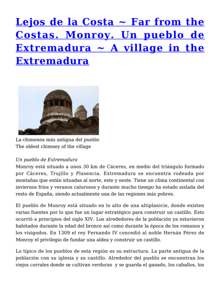
Lejos de la Costa ~ Far from the Costas. Monroy. Un pueblo de Extremadura ~ A village in the Extremadura La chimenea más antigua del pueblo The oldest chimney of the village Un pueblo de Extremadura Monroy está situado a unos 30 km de Cáceres, en medio del triángulo formado por Cáceres, Trujillo y Plasencia. Extremadura se encuentra rodeada por montañas que están situadas al norte, este y oeste. Tiene un clima continental con inviernos fríos y veranos calurosos y durante mucho tiempo ha estado aislada del resto de España, siendo actualmente una de las regiones más pobres. El pueblo de Monroy está situado en lo alto de una altiplanicie, donde existen varias fuentes por lo que fue un lugar estratégico para construir un castillo. Esto ocurrió a principios del siglo XIV. Los alrededores de la población ya estuvieron habitados durante la edad del bronce así como durante la época de los romanos y los visigodos. En 1309 el rey Fernando IV concedió al noble Hernán Pérez de Monroy el privilegio de fundar una aldea y construir un castillo. Lo típico de los pueblos de esta región es su estructura. La parte antigua de la población con su iglesia y su castillo. Alrededor del pueblo se encuentran los viejos corrales donde se cultivan verduras y se guarda el ganado, los caballos, los cerdos y las gallinas. Alrededor del pueblo se encuentran las cercas que son terrenos de algunas hectáreas de extensión donde se guarda y pasta el ganado y los caballos. También en los alrededores del pueblo se encuentra el área comunal donde pastan las ovejas, las cabras y el ganado de los vecinos. Rodeando todo lo anterior se encuentra las grandes extensiones de terreno, que son fincas donde se da la ganadería extensiva y los toros de lidia. A village in the Extremadura Monroy lies about 30 km from Cáceres, in the middle of the triangle CáceresTrujillo-Plasencia. Extremadura is surrounded by the mountains in the west, the north and the east. It has a continental climate with cold winters and hot summers and for ages it has been a fairly isolated area in Spain and until now still one of the poorest regions. The village lies on a hillock in the highland and has been surrounded by water sources, and therefore in the past a good strategic spot for building a castle. That was at the beginning of the fourteenth century. Already before that the surroundings were inhabited in the bronze time and at the time of the Roman and the Visgoten. In 1309 King Ferdinand IV granted to the nobleman Hernán Pérez the Monroy the privilege for founding the village and the construction of a castle Typically of the villages in this region is the composition. The old centre with church and castle, at the edge of the village the old corals where one grows vegetables, keeps cattle, horses, pigs and chickens and around the village the cercas, small plots of a few hectares where one mostly keeps cattle and also horses. Around the village the communal area, the grazing area for the sheep and cattle and to a lesser degree the goats. Bordering to the communal area are situated the haciëndas, large farms with extensive livestock-farming and bull-breeding. Iglesia de Santa Catalina de Monroy desde XIV siglo Santa Catalina Church from XIV century Doña Maria Teresa Vestibulo en la casa de Doña Maria Teresa Doña Maria Teresa Vestibule in Doña Maria Teresa’s house Hermanos Galea – fábrica de embutidos y jamones Factory of sausages and hams Tienda de la fábrica Shop at the factory
