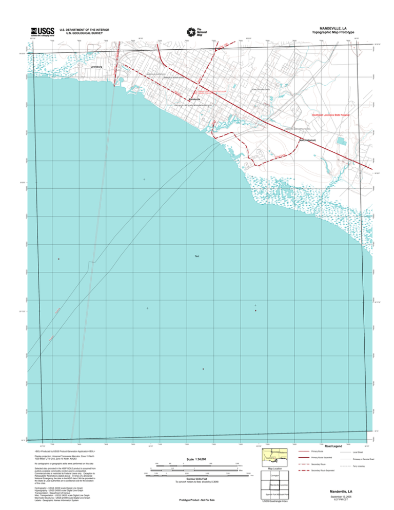
Mandeville, LA MANDEVILLE, LA Topographic Map Prototype
Anuncio

MANDEVILLE, LA Topographic Map Prototype U.S. DEPARTMENT OF THE INTERIOR U.S. GEOLOGICAL SURVEY 90°5'0" 781000 782000 783000 Causewa y H 788000 n 30°22'30" 5 MANDEVILLE ELEM SCHOOL n 5 MANDEVILLE JR HIGH SCHOOL H 5 5 Mo n ro e 3363000 Causeway 3363000 787000 g H Lewisburg 786000 25 5 30°22'30" 90°0'0" n 785000 25 5 8 108 ay w h H ig 90°2'30" 25 5 784000 3364000 780000 A Y ST TAMMANY PARISH FIRE PROT DIST #4 AMB ST TAMMANY FIRE DIST 4 5 5 5 n PLANET KIDS PRE SCHOOL 5 OUR LADY OF LAKE SCHOOL WOODLAKE ELEM SCHOOL n Pipe l 5 5 3362000 Mandeville 5 n Southeast Louisiana State Hospital 5 5 3361000 n OPERATION JUMPSTART ALT SCHOOL 3361000 5 10 5 5 Re in e 5 5 in e 3362000 779000 25 778000 3364000 777000 Ge rar d 90°7'30" Nott (historical) 10 10 3360000 5 10 5 3360000 mp p Ca Grou 10 10 30°20'0" 3359000 3358000 3357000 3357000 3358000 3359000 30°20'0" Text 3356000 3355000 30°17'30" Pi pe lin e 3356000 3355000 ! 3353000 3353000 Pi pe lin e 3354000 ! 3354000 30°17'30" 3352000 3352000 3351000 3351000 ! 3350000 30°15' 3350000 30°15' 90°7'30" 777000 778000 779000 780000 781000 90°5'0" 782000 783000 784000 90°2'30" <BOL>Produced by USGS Product Generation Application</BOL> Louisiana Scale 1:24,000 No cartographic or geographic edits were performed on this data Hydrography - USGS 24000 scale Digital Line Graph Hypsography - USGS 24000 scale Digital Line Graph Transportation - Department of Census Misc. Transportation - USGS 24000 scale Digital Line Graph Manmade Structures - USGS 24000 scale Digital Line Graph Labels - Geographic Names Information System 786000 Mississippi Alabama Display projection: Universal Transverse Mercator, Zone 15 North 1000 Meter UTM Grid, Zone 15 North, NAD83 Selected data provided in the HSIP GOLD product is acquired from publicly available commodity vendors and is unclassified. Commercial data is restricted to Federal Users only. Exception to Releasability Restrictions stated above: In times of a Declared National Emergency the data in the HSIP data CAN be provided to the State & Local authorities at no additional cost for the duration of the crisis. 785000 1,000 500 0 2,500 0 1,000 0.5 1,250 0 2,000 1 2,500 2 5,000 Contour Units Feet To convert meters to feet, divide by 0.3048 Florida 7,500 Road Legend 788000 Primary Route Map Location Miles 10,000 Feet Primary Route Separated Driveway or Service Road Ferry crossing Secondary Route Separated Covington Mandeville Lacombe USGS Quadrangle Index 90°0'0" Local Street Secondary Route Meters Spanish Fort NESouth Point Prototype Product - Not For Sale 787000 Mandeville, LA September 12, 2005 6:37 PM CST
