ES5120013
Anuncio
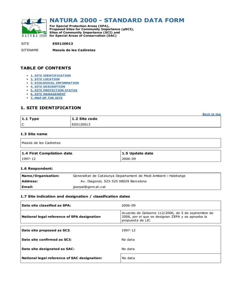
NATURA 2000 - STANDARD DATA FORM For Special Protection Areas (SPA), Proposed Sites for Community Importance (pSCI), Sites of Community Importance (SCI) and for Special Areas of Conservation (SAC) SITE ES5120013 SITENAME Massís de les Cadiretes TABLE OF CONTENTS 1. 2. 3. 4. 5. 6. 7. SITE IDENTIFICATION SITE LOCATION ECOLOGICAL INFORMATION SITE DESCRIPTION SITE PROTECTION STATUS SITE MANAGEMENT MAP OF THE SITE 1. SITE IDENTIFICATION Back to top 1.1 Type 1.2 Site code C ES5120013 1.3 Site name Massís de les Cadiretes 1.4 First Compilation date 1.5 Update date 1997-12 2006-09 1.6 Respondent: Name/Organisation: Generalitat de Catalunya Departament de Medi Ambient i Habitatge Address: Email: Av. Diagonal, 523-525 08029 Barcelona [email protected] 1.7 Site indication and designation / classification dates Date site classified as SPA: 2006-09 National legal reference of SPA designation Acuerdo de Gobierno 112/2006, de 5 de septiembre de 2006, por el que se designan ZEPA y se aprueba la propuesta de LIC Date site proposed as SCI: 1997-12 Date site confirmed as SCI: No data Date site designated as SAC: No data National legal reference of SAC designation: No data 2. SITE LOCATION Back to top 2.1 Site-centre location [decimal degrees]: Longitude 2.9299999999999997 Latitude 41.76555555555556 2.2 Area [ha]: 2.3 Marine area [%] 9223.3 15.8 2.4 Sitelength [km]: 0.0 2.5 Administrative region code and name NUTS level 2 code Region Name ES51 Cataluña 2.6 Biogeographical Region(s) Mediterranean (0.0 %) 3. ECOLOGICAL INFORMATION Back to top 3.1 Habitat types present on the site and assessment for them Annex I Habitat types Code PF NP Cover [ha] Site assessment Cave Data [number] quality A|B|C|D A|B|C Representativity Relative Surface Conservation Global 1110 1.0000000187681979 G C C C C 1120 42.36147062778303 G C C C C 1210 1.0000000187681979 G C C C C 1240 17.686010818881197 G C B C C 3150 1.0000000187681979 G C C C C 3170 1.0000000187681979 G A C A A 5230 1.0000000187681979 G A C A A 8330 1.0000000187681979 G C C C B 91E0 2.276101702459796 G B C B B 9260 24.48402405284514 G C C C C 9330 5648.443302639043 G B B B B 9340 66.97809617453223 G B C B B 9540 1403.4343252040771 G B C B B PF: for the habitat types that can have a non-priority as well as a priority form (6210, 7130, 9430) enter "X" in the column PF to indicate the priority form. NP: in case that a habitat type no longer exists in the site enter: x (optional) Cover: decimal values can be entered Caves: for habitat types 8310, 8330 (caves) enter the number of caves if estimated surface is not available. Data quality: G = 'Good' (e.g. based on surveys); M = 'Moderate' (e.g. based on partial data with some extrapolation); P = 'Poor' (e.g. rough estimation) 3.2 Species referred to in Article 4 of Directive 2009/147/EC and listed in Annex II of Directive 92/43/EEC and site evaluation for them Species G Code Population in the site Scientific Name S NP T Size Min Unit Site assessment Cat. D.qual. Max A|B|C|D A|B|C Pop. Con. Iso. Glo. B A229 Alcedo atthis c P D B A229 Alcedo atthis w P D B A255 Anthus campestris r 1 B A091 Aquila chrysaetos B A215 Bubo bubo p 3 B A010 Calonectris diomedea c B A224 Caprimulgus europaeus r B A224 Caprimulgus europaeus c B A197 Chlidonias niger B A080 Circaetus gallicus B A080 B p G C B C C p M C B C C C A C C C B C B P C B C B c P D c P C B C C Circaetus gallicus r P C B C C A084 Circus pygargus c P C B B C B A026 Egretta garzetta c P D B A379 Emberiza hortulana c P C B B C B A103 Falco peregrinus c 2 2 p G C B C C B A103 Falco peregrinus p 2 2 p G C B C C B A245 Galerida theklae c P C B C C B A093 Hieraaetus fasciatus B A092 Hieraaetus pennatus c P C B B C B A014 Hydrobates pelagicus c P C A C C B A181 Larus audouinii c P D B A180 Larus genei c P D B A176 Larus melanocephalus c P C A C C B A246 Lullula arborea c P C B C C R 1221 Mauremys leprosa p P D B A073 Milvus migrans c P C B C C B A074 Milvus milvus c P C B C C M 1310 Miniopterus schreibersii p P C C C C M 1307 Myotis blythii p P C C C C M 1316 Myotis capaccinii p P C C C C M 1324 Myotis myotis p P C C C C B A279 Oenanthe leucura B A392 Phalacrocorax aristotelis desmarestii r 5 5 p P G B A C B B A392 Phalacrocorax aristotelis desmarestii c 1 100 i P M B A C B B A392 Phalacrocorax aristotelis desmarestii p B A C B Phalacrocorax 10 P 105 140 p G P P B A392 aristotelis desmarestii w P B A C B B A384 Puffinus puffinus mauretanicus c P C A C C B A346 Pyrrhocorax pyrrhocorax M 1305 Rhinolophus euryale p P C C C C M 1303 Rhinolophus hipposideros p P C C C C B A191 Sterna sandvicensis c P C A C C B A302 Sylvia undata p C B C C M 1349 Tursiops truncatus p C B C C 36 132 p G P Group: A = Amphibians, B = Birds, F = Fish, I = Invertebrates, M = Mammals, P = Plants, R = Reptiles S: in case that the data on species are sensitive and therefore have to be blocked for any public access enter: yes NP: in case that a species is no longer present in the site enter: x (optional) Type: p = permanent, r = reproducing, c = concentration, w = wintering (for plant and non-migratory species use permanent) Unit: i = individuals, p = pairs or other units according to the Standard list of population units and codes in accordance with Article 12 and 17 reporting (see reference portal) Abundance categories (Cat.): C = common, R = rare, V = very rare, P = present - to fill if data are deficient (DD) or in addition to population size information Data quality: G = 'Good' (e.g. based on surveys); M = 'Moderate' (e.g. based on partial data with some extrapolation); P = 'Poor' (e.g. rough estimation); VP = 'Very poor' (use this category only, if not even a rough estimation of the population size can be made, in this case the fields for population size can remain empty, but the field "Abundance categories" has to be filled in) 4. SITE DESCRIPTION Back to top 4.1 General site character Habitat class % Cover N16 0.03 N08 0.28 N12 1.25 N17 12.72 N01 5.61 N23 8.06 N04 0.01 N21 0.74 N18 71.29 Total Habitat Cover 99.99000000000001 4.2 Quality and importance Este espacio constituye una singularidad geológica y paisajística importante y se configura como una de las mejores muestras dse la costa granítica catalana. Es este sentido, alberga comunidades vegetales propias de acantilados graníticos así como hábitats de fondos marinos rocosos i bloques coralíenos de gran interés. 4.3 Threats, pressures and activities with impacts on the site The most important impacts and activities with high effect on the site Negative Impacts Positive Impacts Threats and Pollution Activities, Pollution inside/outside Rank pressures (optional) Rank management (optional) [i|o|b] [code] [code] [code] [code] H L09 I M G01 I Rank: H = high, M = medium, L = low Pollution: N = Nitrogen input, P = Phosphor/Phosphate input, A = Acid input/acidification, T = toxic inorganic chemicals, O = toxic organic chemicals, X = Mixed pollutions inside/outside [i|o|b] i = inside, o = outside, b = both 5. SITE PROTECTION STATUS (optional) Back to top 5.1 Designation types at national and regional level: Code Cover [%] ES00 100.0 Code Cover [%] Code Cover [%] 5.3 Site designation (optional) Los límites de este espacio han sido trazados de acuerdo con la cartografía topográfica y planimétrica de referencia, a escala 1:50.000, del Instituto Cartográfico de Catalunya, que es el instituto cartográfico oficial y competente de la Generalitat de Catalunya. Los mapas facilitados para formalizar la propuesta de este espacio y definir su delimitación, citados en más adelante en este formulario, tienen la misma precisión de detalles, y la misma calidad, que los mapas de la cartografía topográfica y planimétrica de referencia, a escala 1:50.000, que publica con carácter oficial el Instituto Cartográfico de Catalunya. Estos mapas son la referencia, si no se indica lo contrario, de los detalles de descripción planimétrica, topográfica y/o toponímica que se puedan dar en este formulario.Este espacio está incluido en el 'Pla d'Espais d'Interès Natural' (PEIN), aprobado por el Decreto 328/1992 de la Generalitat de Catalunya. Su inclusión en el PEIN implica un grado de protección del lugar que no queda reflejado en el Apartado 5.1 del formulario, ya que la figura PEIN no está recogida en el mismo. 6. SITE MANAGEMENT 6.1 Body(ies) responsible for the site management: Organisation: Generalitat de Catalunya Departament de Medi Ambient i Habitatge Address: Av. Diagonal, 523-525 08029 Barcelona Email: [email protected] Back to top 6.2 Management Plan(s): An actual management plan does exist: Yes No, but in preparation X No 7. MAP OF THE SITES Back to top INSPIRE ID: Map delivered as PDF in electronic format (optional) Yes X No Reference(s) to the original map used for the digitalisation of the electronic boundaries (optional).
